 |
|
|---|---|
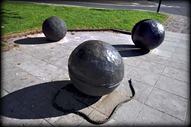
Three Bullet Gate |
New Ross Town Defences The earliest settlement at New Ross, Ros Mhic Thriúin in Irish, dates back to the monastery established in Irishtown by St Abban in the 6th century. The Earl of Pembroke, William Marshall, and his Wife Isabella de Clare, Strongbows daughter, developed the Norman town and Port at the end of he 12th century. By the middle of the 13th century the busy port was a target for the native Chieftains. A D-shaped defensive fosse, with later wall, was built around the town with the straight side running along the east side of the barrow river. |
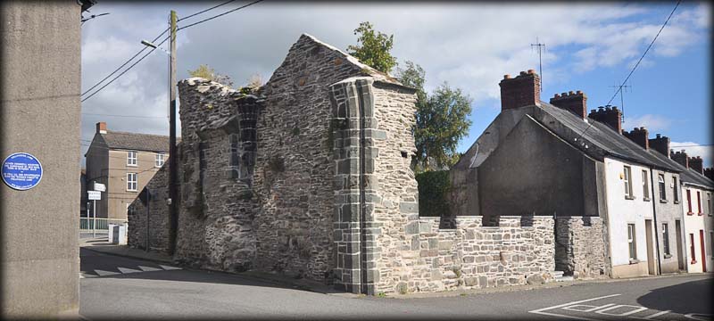
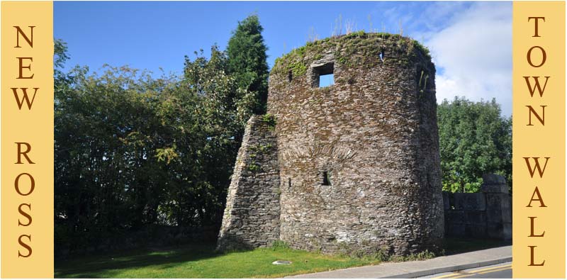
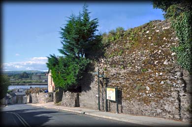
The curved section of the fosse/wall is 1,575 metres long and runs from the river, south of Lidl supermarket, heading west up Lower and Upper William Street towards Three Bullet Gate. From there it turned North along Town Wall and Nunnery lane to Fair Gate/Maiden Gate before heading Northwest to College Road and then turning west along Goat Hill back to the river. The image above features the only surviving remnants of a town gate. Now known as Maidens Gate it was also named Fair Gate and Bishops Gate, after Patrick Barret, the Bishop of Ferns, who had it rebuilt in the 15th century. The other gates were also known under several names, The North Gate was St John's Gate and The South Gate was known as Priory Gate. Three Bullet Gate, originally Bewley Gate, stood at the intersection of Upper William St, Neville St and Town Walls. The Bunnion Gate was at the top of Mary St. The top image features the only surviving mural tower located at Town Walls. Below is a pic of the tallest remaining section of wall, it is located on upper William St. The town was in decline by the middle of the 15th century when it was sacked by the Kavanaghs. It was held by the Confederate Catholics in 1642 before being captured by the Earl of Ormond for the King. The towns defences were dismantled by Cromwells troops in 1649. |
|
Situated: New Ross is located at the junction of the N25 and the N30 on the River Barrow.
Discovery Map 76. S 7221 2729. Last visit Sept 2015. Longitude: 6° 56' 21" W Latitude: 52° 23' 33" N Mural Tower Photos: Jim Dempsey. |
 |